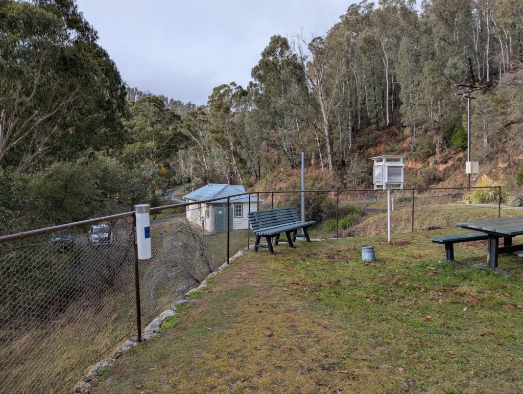
Yarrangobilly and Wombeyan were the locations for fieldwork in the the last few days, with thanks to the management and staff at both cave reserves. The field team was myself, Dr Kashif Mahmud (MSU Texas https://kashifmahmud.wixsite.com/kashif-mahmud/about-me) and Jocelyn McGrade (UNSW).

The aims for the week included the download of hydrology loggers that had been recording water percolating into the caves towards the groundwater table. We also installed ‘Pluvimate’ rainfall loggers to continuously record rainfall at the sites – this will allow us to investigate the relationship between rainfall intensity and potential groundwater recharge.
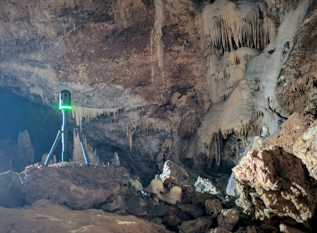
At Wombeyan we collected recharge water samples, possible as we arrived a few days after a recharge event. And at both sites, we completed 360 degree imaging of our hydrology monitoring sites in the caves.
At Wombeyan, we now have two years of cave hydrology data, which suggests that only twelve potential recharge events have occurred over that time period.
At Yarrangobilly, the latest one year of data extends this cave hydrology monitoring record to fifteen years (first established by Monika Markowska: https://www.sciencedirect.com/science/article/abs/pii/S0022169414010555) and now covering years of contrasting climate drivers as well as wildfire.
At both sites, cave lidar mapping was completed. Almost ten years ago (see https://ieeexplore.ieee.org/document/7160666), Dr Kashif Mahmud pioneered the use of lidar mapping in caves to count water inputs into the cave and estimate recharge volumes. We aim to further develop these techniques at Wombeyan and Yarrangobilly to better understand groundwater recharge processes. We have funding for a PhD researcher interested in developing their lidar expertise in 2026. For more details, see: https://andy-baker.org/2024/07/17/phd-positions-available/

Leave a comment